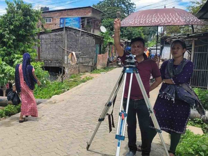
Residents in Silchar Itkhola-Malurgam area reject the outdated survey method for the river dyke, demanding modern techniques for accurate flood risk assessment. Residents in Silchar’s Itkhola and Malurgam areas are voicing strong opposition to the outdated survey method being used to assess the river dyke. The current survey employs the RL (Reducing Level) method, which many residents believe is outdated and prone to inaccuracies.
The Unified Forum, representing these communities, has called for a shift to modern surveying technologies. They argue that the RL method is manual and susceptible to manipulation, which could undermine the reliability of the flood risk assessment.
In response to these concerns, the Forum is urging the use of advanced techniques such as Total Station Survey and Contour Survey. They believe these modern methods will provide a more accurate evaluation of the river dyke, including precise measurements of encroachments and right-of-way areas.
The Forum also requests a comprehensive survey that includes a walkway survey, standing survey, and compression test of the dyke. They are asking for the final survey report to be made public, so the government can secure necessary funding based on accurate and up-to-date information.
A new memorandum has been submitted to the Additional Chief Engineer, with copies sent to key officials including Pijush Hazarika, Minister of Water Resource, the Deputy Commissioner of Cachar, and local MLAs Dipayan Chakraborty and Mihir Shome.

